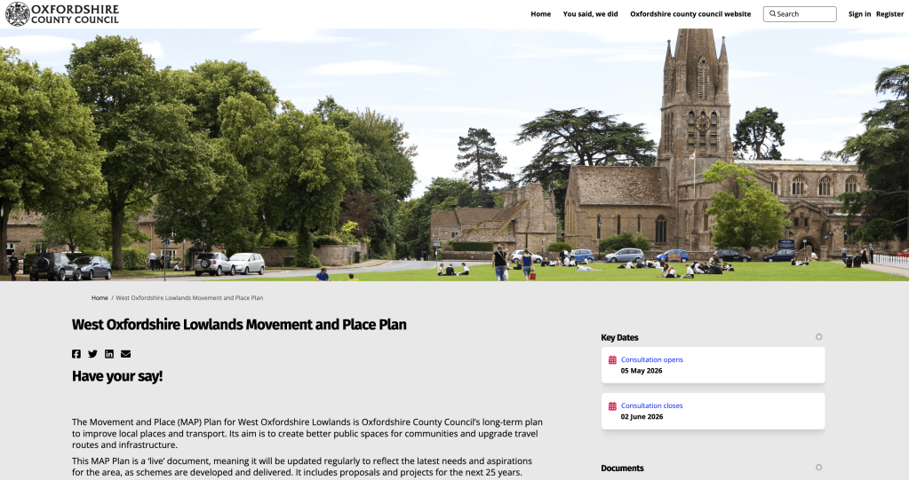
Overview
The West Oxfordshire Lowlands Movement and Place Plan (MAP Plan) is Oxfordshire County Council’s strategy document for transport and travel in Witney, Carterton, Burford, Eynsham and the district’s villages – a predominantly rural district of around 87,000 people, expected to grow to around 136,000 by 2043. It replaces the previous Local Transport Plan area strategies and purports to show how the council will allow movement and travel across the area for the coming decades.
The plan is framed in the language of choice, inclusivity and sustainability. It is best read through a different lens: as a systematic programme to reduce private car use by restricting parking, managing demand, and redirecting funding towards cycling, walking and bus infrastructure – while the alternatives it proposes remain, by the plan’s own admission, inadequate for the majority of residents’ journeys.
If you need your car and need to get around easily, quickly and without more restrictions, you’ve got until Tuesday June 2nd to respond here: https://letstalk.oxfordshire.gov.uk/west-oxfordshire-lowlands-movement-and-place-plan
The area and its realities
The plan acknowledges – repeatedly – that West Oxfordshire is a predominantly rural area where people need their cars:
- 88% of households own at least one car; the average household has 1.5 cars ( the national average is 1.22)
- Approximately 70% of people drive to work
- 63.4% of people work within ten kilometres of home (although this is heavily skewed by RAF Brize Norton) – but the plan’s own data shows that even for journeys under two kilometres, 44% of trips are made by car
- 20.3% of the population is over 65 – a group for whom cycling and e-scooter use is largely impractical
- The area has only one railway station (Hanborough), 8.5km from Witney and serving only a narrow northeast corner of the MAP Plan area
- Bus services on key corridors average just 11.3mph during peak hours – slower than many cyclists
The vision vs reality
The plan’s vision is to deliver ‘transport choice’ and make sustainable travel ‘convenient and attractive.’ In practice, it is driven by a target to remove 1 in 4 car trips by 2030 and 1 in 3 by 2040. The mechanism for achieving this – where alternatives are insufficient to attract voluntary modal shift – is ‘demand management’: that’s Councilese for making driving more difficult and expensive.
Parking
Free parking is still available in Witney, Carterton, Burford, Eynsham and Hanborough for up to 12 hours. The plan explicitly identifies this as a ‘barrier’ to its objectives and signals clear intent to act:
- The Parking Strategy review recommends against providing additional parking, placing ‘modal shift’ (i.e. get out of your car and onto the bus) first
- The plan commits to ‘work proactively… to explore options to ‘manage’ car parking (e.g. removal/limiting of free parking, re-locating car parking, reducing parking altoghether)’
- Action 11.5 proposes Controlled Parking Zones (CPZs) – a mechanism that introduces permit requirements and charges – we could see parking permits in villages and towns
- The plan notes that free parking ‘discourages the use of alternative modes’ and must therefore be addressed
Bus Services
The plan acknowledges the bus network is the principal public transport mode but cannot conceal its inadequacy:
- There are no high-frequency services (minimum four per hour) anywhere in West Oxfordshire
- During peak hours, the journey from Carterton to Oxford takes up to 119 minutes by bus versus approximately 45 minutes by car
- Bus speeds between Witney and Oxford average 11.3mph at peak – comparable to congested inner-city conditions
- Only 2.2% of bus stops in Carterton and 3.9% in Witney have real-time information displays
- Most villages have one bus per hour or fewer; some have none at all
- Few – if any – villages have a Sunday or evening bus service – and the plan acknowledges this
- There are few ‘joined up’ routes that would allow people to chain bus journeys
Rail
Rail access is minimal. Hanborough station:
- Is ranked in the bottom five Oxfordshire stations for delays and cancellations
- Had only 69.2% of services on time in 2025-26
- Has a car park that is regularly at capacity – causing passengers to miss connections
- Is served by hourly trains only, with no direct services to many major destinations
- Requires at least two buses to reach from Carterton, Burford or Bampton
Cycling
The plan targets doubling cycling trips across West Oxfordshire by 2031. It simultaneously acknowledges:
- Even doubling existing rates of cycling would not reach 1% of trips but would cost millions to achieve
- Existing cycling infrastructure is ‘fragmented,’ of ‘varying quality,’ and fails to meet national design guidance
- Social and economic barriers prevent many residents from cycling (disability, cost of equipment, safety concerns – particularly for women and children)
- Rural distances and hills (notably in Burford and the Cotswold fringe) make cycling impractical for many
Micromobility (E-Scooters and E-Bikes)
The plan proposes e-scooter schemes as part of the solution. It acknowledges these are subject to central government legislation (i.e., e-scooters remain illegal on public roads except in specific trials). The Princes Risborough trial cited has a population of comparable size to Witney – yet began with just 20 scooters. E-scooters on rural roads and country lanes present obvious safety concerns the plan does not address.
Demand Management: The Real Mechanism
Section WOL11 is the engine of the plan’s anti-car strategy. ‘Demand management’ is defined to include:
- Increased or new car parking charges
- Controlled Parking Zones (CPZs)
- Removal of on-street parking
- Modal filters (road blocks preventing car and motorcycle through-traffic)
- Low emission zones
- Workplace Parking Levies
The plan states these will only be applied where ‘good levels of sustainable alternative travel options’ exist. However, the definition of ‘good levels’ is left entirely to the council’s discretion – and the plan’s own evidence demonstrates that current alternatives are not good.
Growth and Contradiction
The plan expects the population to grow by up to 49,000 people by 2043, with 7,200–10,000 new homes. It proposes to manage the resulting travel demand by reducing car use. This is logically incoherent: a 56% increase in population in an area with no rail spine, inadequate buses, and weather-dependent cycling infrastructure cannot be managed by removing the dominant mode of transport while the alternatives remain aspirational.
Key Objectives Summary
Objective Real-World Implication
- WOL1 – Place shaping: Repurpose road space and car parking for pedestrians and cyclists – i.e. take away parking, block roads and make car travel more expensive and harder
- WOL2 – Walking/cycling network: Major investment in infrastructure with uncertain delivery timelines
- WOL4 – Micromobility: E-scooters in towns (currently illegal on public roads); e-bikes in rural areas
- WOL7 – Enhance bus services: Aspiration only; no committed frequencies or journey times
- WOL11 – Demand management: Charges, CPZs, parking removal where council deems alternatives ‘adequate’
- WOL12 – Infrastructure: New road schemes that also enable car bans and parking reduction
This plan is a detailed, professionally written document with a clear underlying purpose: to reduce private car use in a rural area where private car use is, for most residents for most journeys, the only realistic option.
The alternatives it proposes are – by its own evidence – slow, infrequent, unreliable, incomplete and in some cases still illegal.
If you rely on your car, read this plan and respond before the consultation window closes on Tuesday 2nd June.
https://letstalk.oxfordshire.gov.uk/west-oxfordshire-lowlands-movement-and-place-plan

Leave a comment